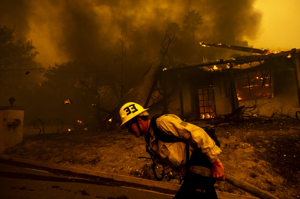
Mountain Fire in Ventura charges toward ocean, destroying homes and forcing evacuations
This is a developing story and will be updated. For the most up-to-date information about the fire you can check:
Multiple wildfires broke out Wednesday propelled by strong Santa Ana winds.
Conditions this dangerous — gusty, dry and widespread — haven’t been seen since 2020, according to the National Weather Service. And are reminiscent of what we saw during the devastating Woolsey Fire in 2018.
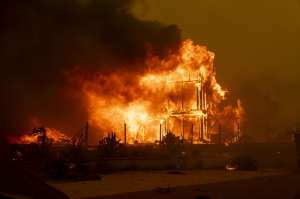
Assume that any fires that breakout near the coast could make a run to the Pacific Ocean as long as the strong winds are around. They should wrap up by Friday.
The Broad Fire, which began mid-morning at Malibu Bluffs Park, quickly grew to 50 acres, damaged two homes and destroyed one. Forward progress was stopped when it hit the Pacific. If the fire had started further inland, it could’ve been catastrophic for even more homeowners in the area.
Pacific Coast Highway has been shut down in both directions near Malibu Canyon Road.
Fire officials, though, have expressed serious concerns about the danger posed by the Mountain Fire in Ventura County.
During a press conference Wednesday afternoon, Dustin Gardner, Ventura County Fire Chief, said the the Mountain Fire burning in the Camarillo area was a classic Santa Ana wind event that was moving at a “dangerous rate of spread.”
Gardner urged residents to leave when they get an evacuation order for their area. “These aren’t one of these fires where you can wait and predict and maybe stay home,” he said. “Your homes can be replaced, your lives can’t. Leave.”
Officials said they anticipated red flag warning fire conditions to continue until at least Thursday evening.
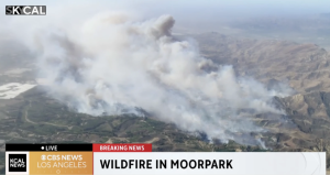
Mountain Fire basics
The Mountain Fire broke out Wednesday morning at about 9:41 a.m. near Moorpark at Balcom Canyon Road and Bradley Road. It’s currently 0% contained.
Acreage: 10,500 acres
Containment: 0%
Structures: Numerous structures have burned.
Deaths: None
Injuries: Some reported
Personnel working on fire: Not available
Power outages: More than 20,000 Ventura County customers affected
Evacuation map and orders
Evacuation orders have been issued by the Ventura County Sheriff’s Department for the following areas:
North of Somis: areas north of East Los Angeles Avenue/Hwy 118, west of Balcom Canyon Road, and east of La Vista Avenue
Saticoy Country Club: east of Los Angeles Ave/Hwy 118, and south of the Santa Clara River and north of Beardsley Road
Areas south of Hwy 118, west of N. Lewis Road, north of North Loop Drive and Mission Drive, and east of Fairway Drive
West Camarillo (Las Posas/Spanish Hills areas): north of Las Posas Road, south and east of Central Avenue and Beardsley Road, and west of Anacapa Drive
The area extending south of Santa Clara River, east of Los Angeles Avenue, north of Saticoy County Club, and west of Briggs Road
The area north of Hwy 101 and south and east of Beardsley Avenue, and south of Central Avenue
Evacuation warnings
Authorities say those who require additional time to evacuate and those with pets and livestock should leave immediately. We’ll update with additional warnings as information becomes available.
Evacuation shelters
Padre Serra Parish, 5205 Upland Road, Camarillo
For large animals: Ventura County Fairgrounds, 10 E. Harbor Blvd., Ventura
For small animals: Ventura County Animal Services (Camarillo Airport), 600 Aviation Drive, Camarillo
Road closures
Northbound Lewis Road at Las Posas
Eastbound Highway 118 at Wells Road
Westbound Highway 118 at Tierra Rejada Road
School closures
All four Malibu schools will be closed on Thursday because of the hazardous fire conditions, road closures, and possible power outages, according to officials. That includes all programs at Webster Elementary, Malibu Elementary, Malibu Middle and Malibu High. The Malibu Boys & Girls Club will also be closed.
What we know so far
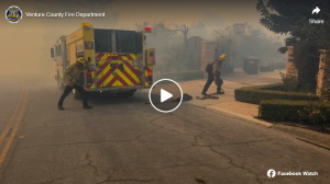
The Mountain Fire broke out in the Somis area around 9 a.m. and almost immediately prompted mandatory evacuations in Ventura County. It’s grown to more than 10,000 acres, jumped Highway 118 and, as of noon, was barreling into the community of Camarillo Heights. Multiple injuries have been reported.
What’s particularly concerning about this fire is that it could make a run to the ocean, and there are a whole lot of neighborhoods between where it started and the Pacific.
“There is that potential,” said Scott Dettorre, public information officer with Ventura County Fire. “The good thing is that when it comes out of the area that it’s in, it’ll hit the flatlands and the fuel bed starts to break up at that point, which could help with containment.”
Standing on top of a hill near a temporary evacuation center at Padre Serra Parish, Cheryl Sabato said she had evacuated her home in the Somis area earlier Wednesday morning.
“It was pretty harrowing,” Sabato LAist as she watched Camarillo burn down below.
“This is crazy. We get this every year, but not to the point where it went over the ridge,” she added, surprised that the fire had jumped Highway 118.
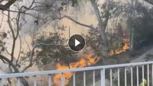
Helicopters dropped water on the flames Wednesday afternoon in an effort to save houses on hillsides in Camarillo. Residents watched on, hoping their homes would be spared.
VC Fire has six strike times on scene, with more crews coming to help from L.A. City.
The latest evacuation map can be found here.
The Federal Emergency Management Agency announced Wednesday afternoon that it had authorized the use of federal dollars to aid California in fighting the Mountain Fire. That money can go toward field camps, materials, equipment use and other firefighting expenses.
According to FEMA, as of Nov. 6, all of the homes threatened by the fire are primary residences.
Gusts of up to 80 mph have been observed.
Red flag conditions will continue to be a threat until late Thursday, according to the National Weather Service.
